
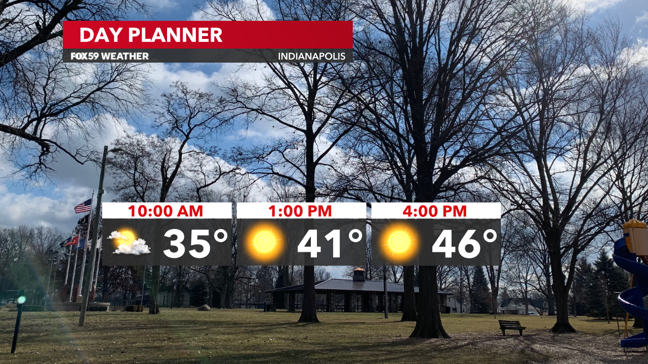
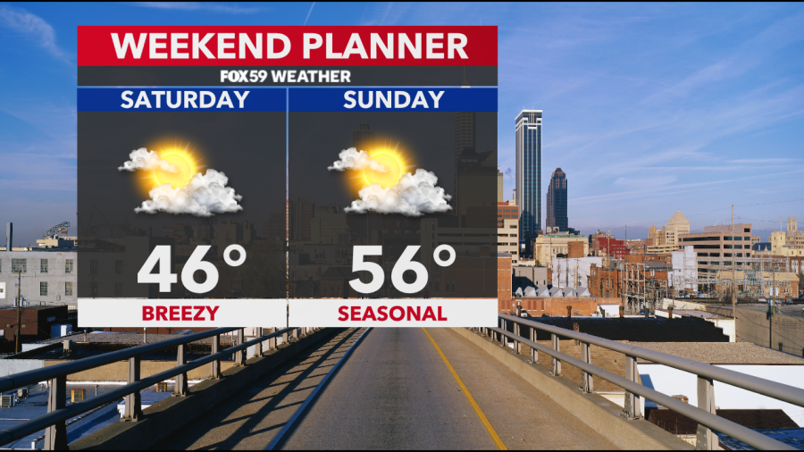
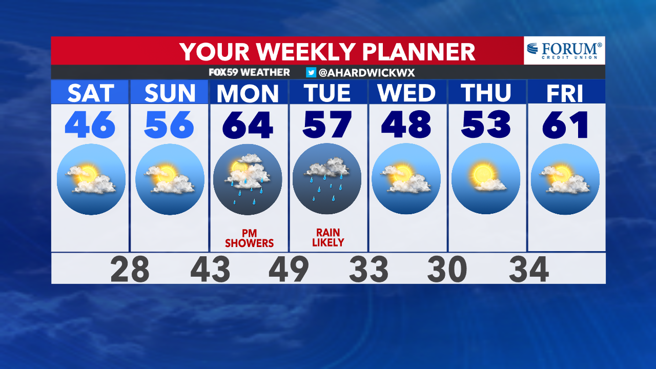
Cloud cover lingered across central Indiana this morning as temperatures dropped into the upper 20s and lower 30s. Cloud cover will decrease this midday with skies turning mostly sunny this afternoon. Temperatures today will be running nearly 10 degrees below normal for the date. Highs are going to reach into the mid-40s, which is a similar feel to what we had Friday afternoon.
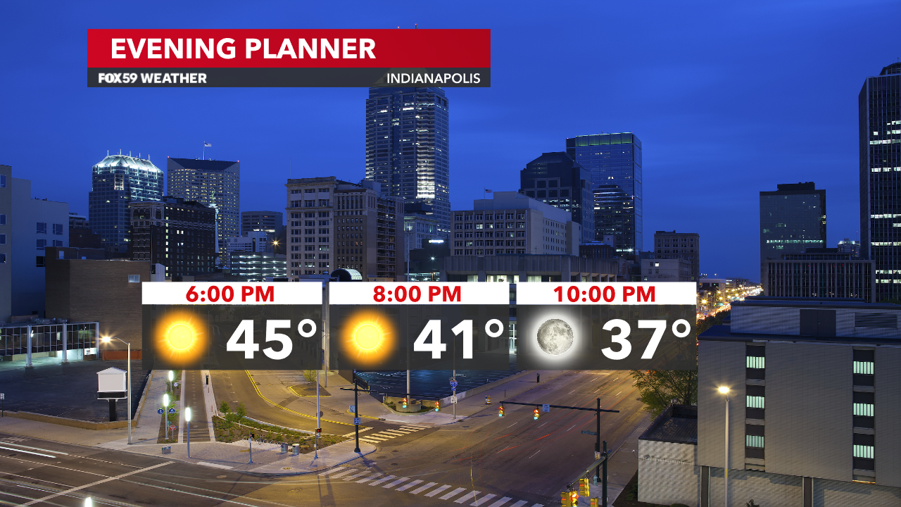
Skies remain clear this evening. However, scattered clouds will push into the region after midnight and stick around through Sunday morning. We are tracking another chilly night ahead with lows in the upper 20s. Frost may form again with wind speeds becoming lighter overnight.
Winds will take a southeasterly shift on Sunday, which will allow temperatures to rise more compared to today. Highs will reach into the mid-50s across central Indiana with a mix of sunshine and clouds.
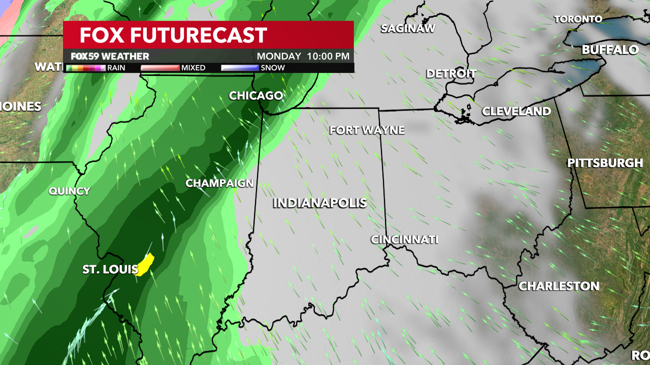
Milder air will briefly build back into the state ahead of our next storm system. Temperatures are going to jump back into the mid-60s on Monday before rain chances return that evening. Tuesday looks soggy with scattered rainfall. We’ll see another drop in temperatures on Wednesday as highs return to the mid-40s.
Comments are closed.